Agriculture, territory and technologies integration Unit
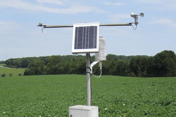
This unit provides input for "#smart farming" or "smart agriculture" related research using information obtained by detection and remote sensing sensors incorporated into various technologies; this information is cross-referenced with meteorological data from the CRA-W's PAMESEB network and other technical and/or environmental data.
Objectives
Creating decision support tools for monitoring and developing crops, risk prevention, guiding choices and assessing crop quality (e.g. yields) ranging from the scale of an area to the farmer's plot of land.

Remote sensing and spatial information. Coverage of the entire spatial information chain (mapping, satellite data or drone data,...) ranging from acquisition to the enhancement of optical/radar images through agricultural decision support tools.
Scientific IT and database management. IT developments for the preparation of operational decision support tool prototypes achieved within the framework of digital transition, technological integration and big data in the agricultural sector.
Agroclimatology. Managing Pameseb weather stations and making data available to operational agricultural ADOs. Developing agricultural decision support tools requiring meteorological data


