

Coordinatrice du projet SAGRIWASENT
Emilie BERIAUX
-
- +32 81 87 41 65

Les articles de Emilie BERIAUX
News


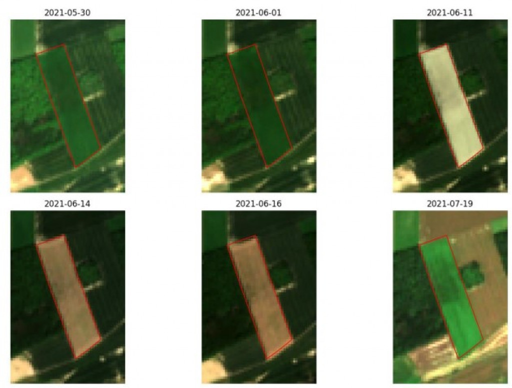
Sentinel satellites for agricultural monitoring
The SAGRIWASENT II project team at CRA-W is developing algorithms using SENTINEL satellite images to monitor agricultural activity in Wallonia.
Scientific publications

Comparison of Sentinel-1 &-2 for mowing detection in the framework of CAP in Wallonia - SAGRIWASENT II
Godechal, F. , Beriaux, E. , Jago, A. , Cassier, A. , Lucau-Danila, C. , Curnel, Y. & Planchon, V. (2023). Comparison of Sentinel-1 &-2 for mowing detection in the framework of...
Scientific publications

Grass biomass Assessment at field scale in Wallonia based on Sentinel data.
Curnel, Y. , Lucau-Danila, C. , Beriaux, E. , Jago, A. , Mertens, A. , Pirson, J. , Decruyenaere, V. & Planchon, V. (2023). Grass biomass Assessment at field scale in Wallonia...
News
Monitoring Walloon agriculture by remote sensing
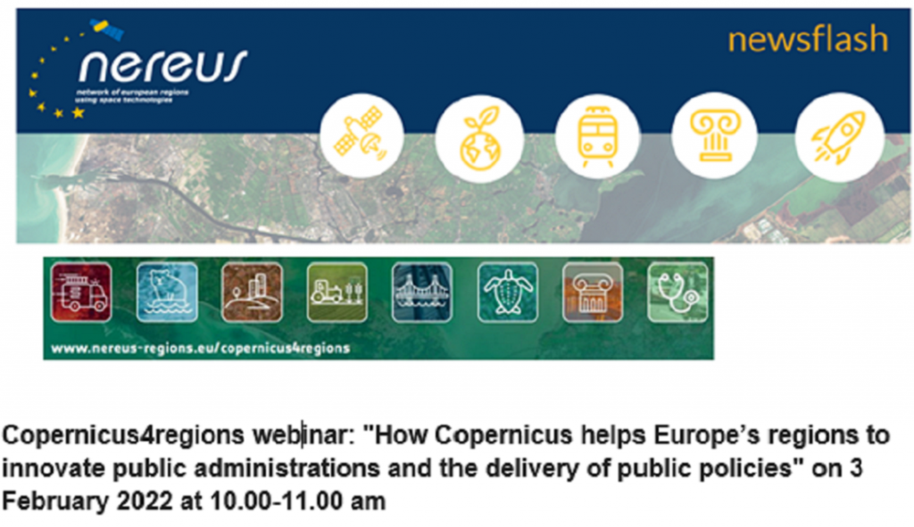
The results of the SAGRIWASENT project presented at the European Copernicus4regions meeting
Scientific publications

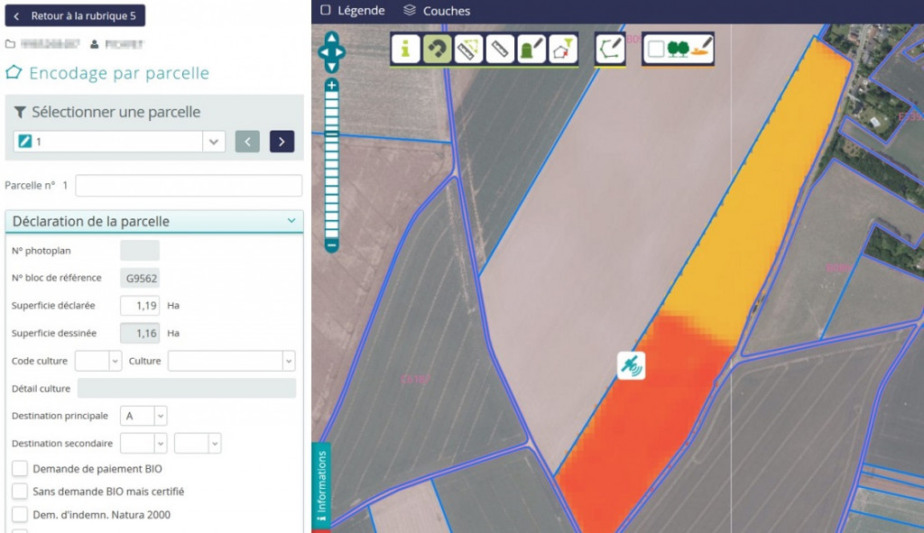
SAGRIWASENT - Detection of New Urban Elements in Agricultural Parcels
Jago, A. , Beriaux, E. , Homsy, S. , Jacquemin, E. , Leteinturier, B. , Lucau-Danila, C. & Planchon, V. (2022). SAGRIWASENT - Detection of New Urban Elements in Agricultural Parcels....
Scientific publications
SUNSHINE - Grass biomass assessment at field scale in Wallonia based on Sentinel data
Curnel, Y. , Lucau-Danila, C. , Beriaux, E. , Jago, A. , Mertens, A. , Pirson, L. , Decruyenaere, V. & Planchon, V. (2022). SUNSHINE - Grass biomass assessment at field scale in...
Scientific publications
SAGRIWASENT - Agriculture monitoring using sentinel images. « how Copernicus helps Europe’s regions to innovate public administration and the delivery of public policies”
Beriaux, E. , Leteinturier, B. , Lucau-Danila, C. , Jago, A. & Planchon, V. (2022). SAGRIWASENT - Agriculture monitoring using sentinel images. « how Copernicus helps Europe’s...
Scientific publications
La télédétection pour la prévention des risques en agriculture, 29 slides.
Beriaux, E. , Curnel, Y. , Jago, A. , Lucau-Danila, C. & Planchon, V. (2022). La télédétection pour la prévention des risques en agriculture, 29 slides. Lecture in: GTEO, Bouge,...
News
Sentinel satellite images used for agricultural monitoring
The SAGRIWASENT project team is developing operational methods for the monitoring of agricultural activity in the Walloon region by means of SENTINEL satellite images.
23
rows