“Copernicus” is the European Union's (EU) Earth Observation Programme. It provides near real-time global data, also used for local and regional needs, helping to understand our planet better and establish strategies for sustainable management of our environment. Access to "Copernicus" data and information is open and free.
Agricultural areas represents around 40% of the total area of the EU and 43.5% of Wallonia. It is therefore one of the main applications of the “Copernicus” Land Monitoring Service.
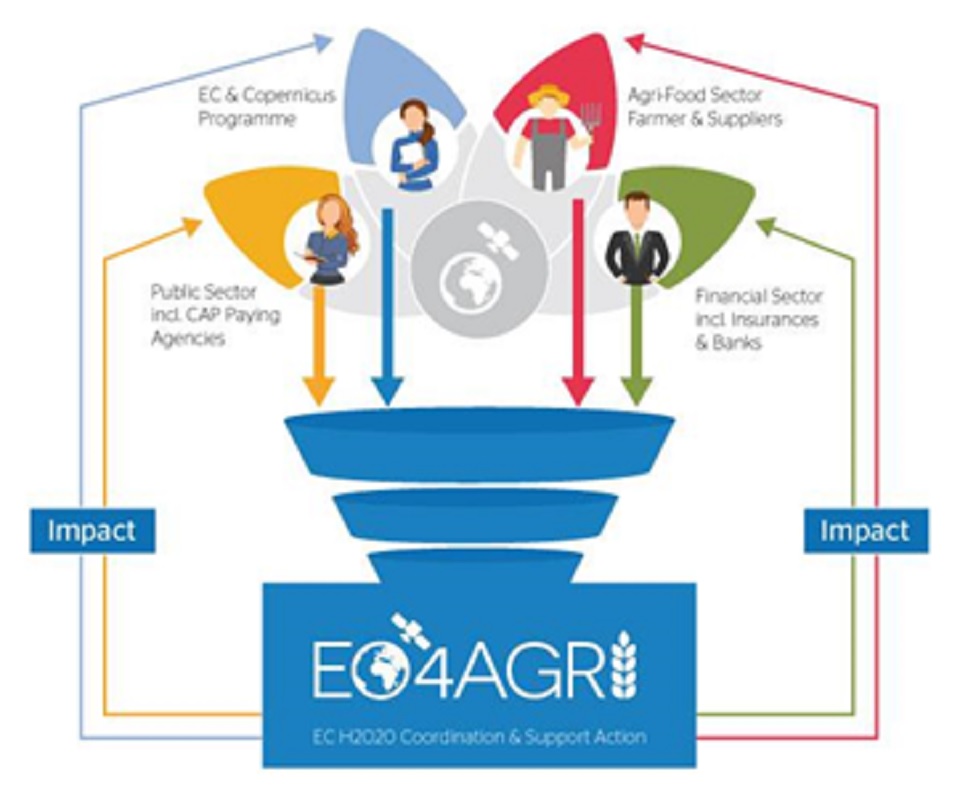
EO4AGRI , a project financed by the European H2020 programme, brings together several active partners recognised at the European and global level (http://eo4agri.eu/). This project’s objectives are:
- summarise the current operational capabilities of “Copernicus” in agriculture for farmers and agricultural entrepreneurs, insurance companies, the Common Agricultural Policy (CAP) at the EU level and in terms of food security at the global level;
- analyse the needs in terms of spatial imagery and field data at the local, regional and global scales;
- propose solutions to improve the agricultural monitoring capabilities of “Copernicus”.
In this project, the CRA-W is responsible for action on “the estimation and forecasting of agricultural yields” and participates in actions relating to “precision agriculture, food security and the CAP”. This involvement is related to other CRA-W research projects that use satellite data: SAGRIWASENT , CARTOFOR , BCGMS , BELCAM , UAVSOIL , etc.
The need for field data to calibrate and validate the different models and/or satellite images is considered a priority for the majority of applications in agriculture, from the local to the global scale. Finally, among the other possibilities to improve the agricultural monitoring capabilities of “Copernicus”, we find: higher spatial resolution for meteorological satellites and better interoperability with terrestrial weather stations, availability of thermal imagery and better use of radar and hyperspectral images.


