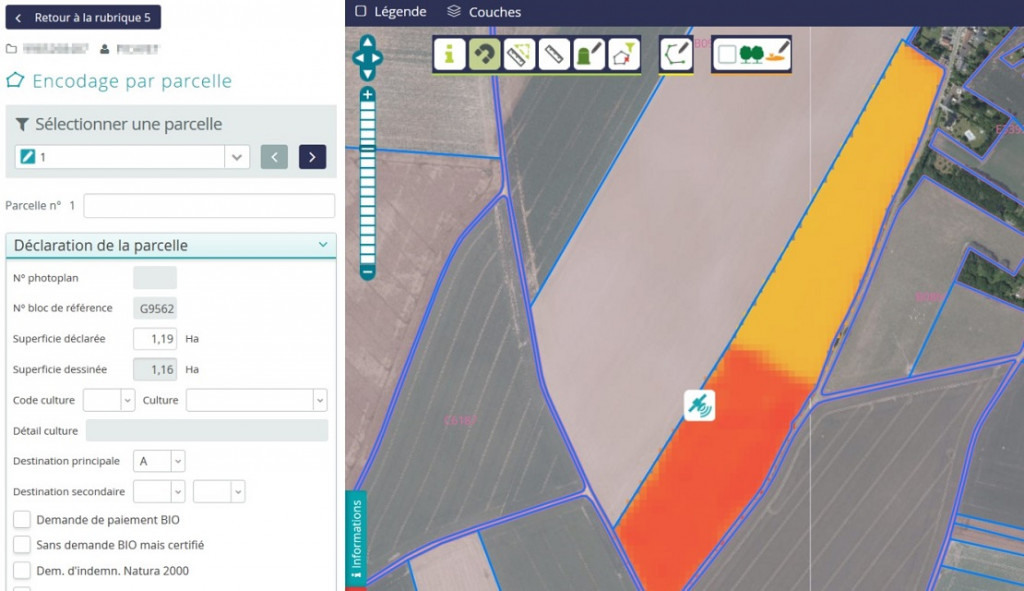
The SAGRIWASENT project - monitoring Walloon agriculture by remote sensing - was presented during the international Webinar Copernicus4regions organized by NEREUS, the "network of european regions using space technologies".
The operational methods for monitoring agricultural activity in Wallonia using SENTINEL satellite images, and in particular the detection of mowing and the identification of crops, were explained.
